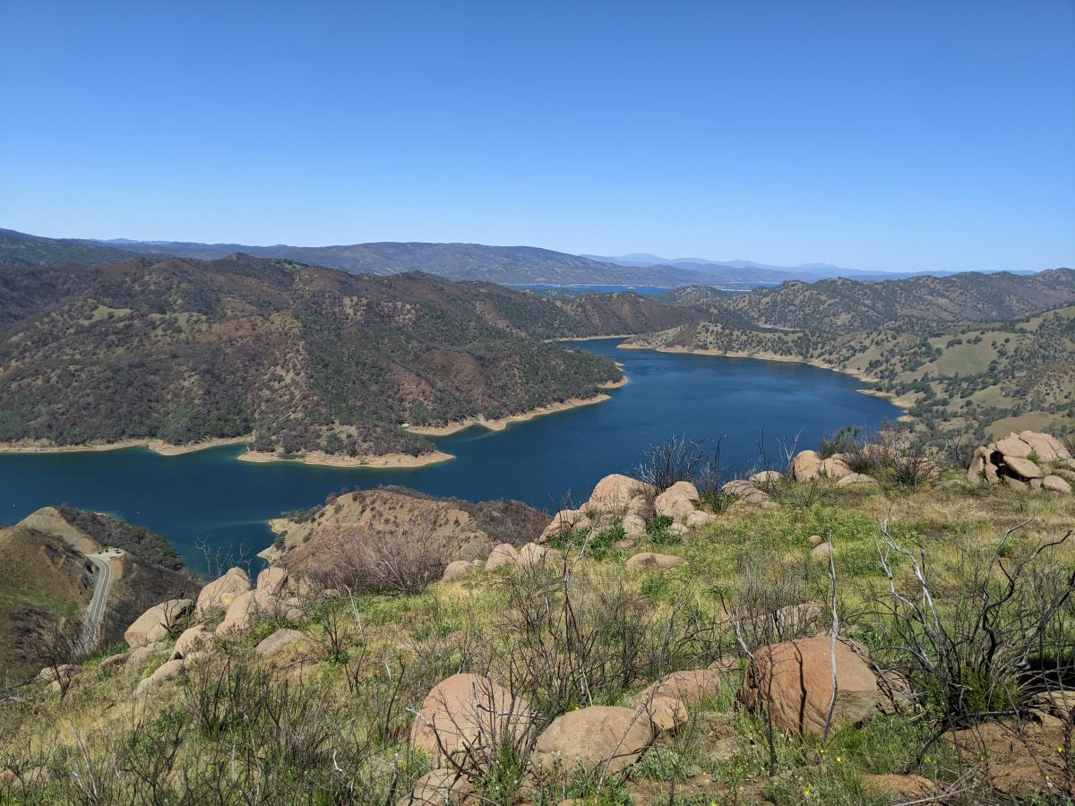
Auburn State Recreation Area
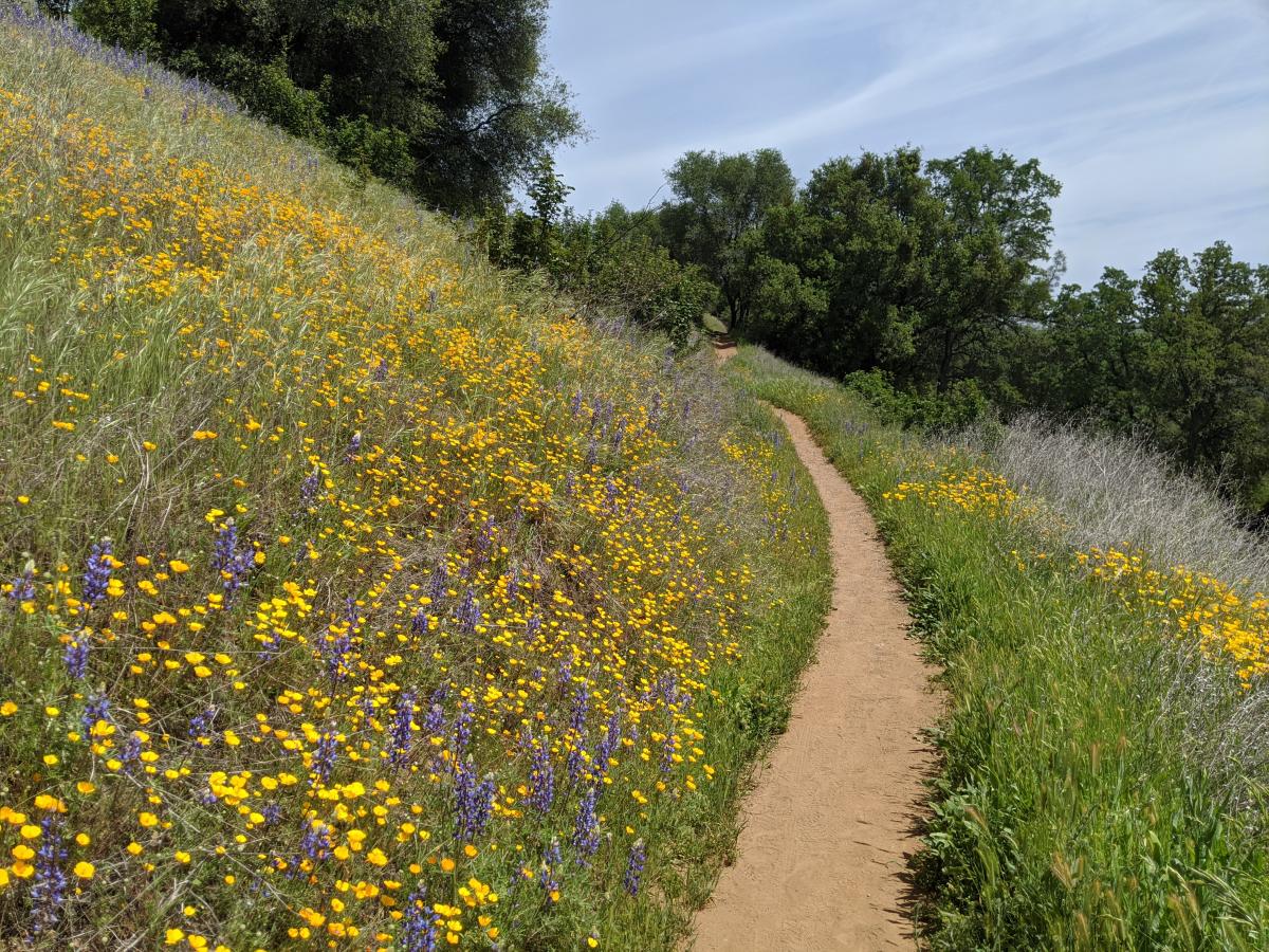
There are over 100 miles of trails in the Auburn SRA, and several of the areas are open to mountain biking.
Learn More
Sacramento Magazine Travel Section
Sacramento Magazine has featured numerous hikes (especially in the Sierras) in its travel section. Check them out!
Learn More
More Outdoor Exploration

Pick the Perfect Pumpkin at these Sacramento Pumpkin Patches this Fall
There's no better way to kick off the fall season than going to one of Sacramento's many...
Read More
A Ghostly Night Out in Sacramento with US Ghost Adventures
Boo! Did we scare you? Spooky season is coming up fast, and Sacramento’s whispers of...
Read More
Five Water Activities to Try this Summer in Sacramento
With the weather heating up here in Sacramento, summer is the perfect opportunity to try a new water...
Read More
Adventure Awaits on Sacramento's River Fox Train
Nestled in the heart of the Sacramento region awaits a thrill that blends history, agriculture, and...
Read More